History of Google Street View / Costa Rica
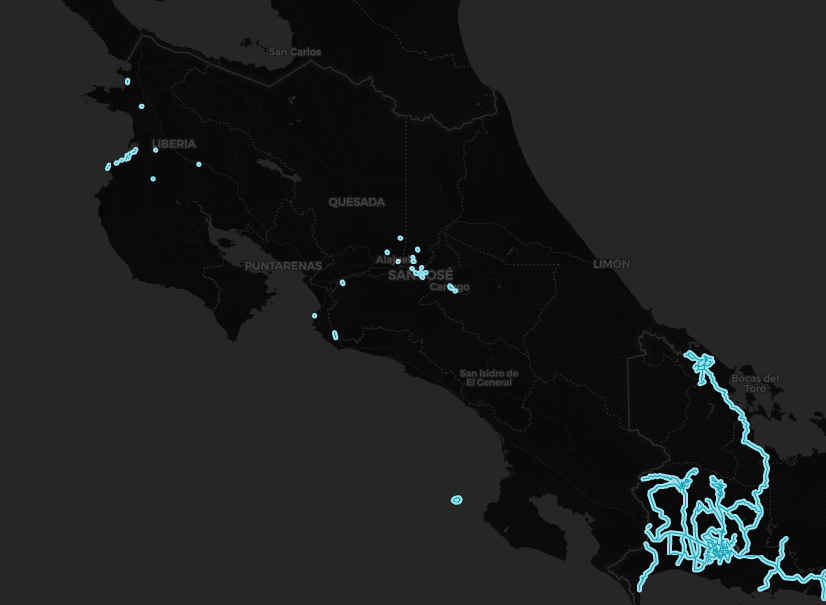
(Source: SV-Map)
In August 2016, Google began discussions with the Costa Rican Data Protection Agency (PRODHAB) to introduce several panoramic views of tourist sites in the country.[1]
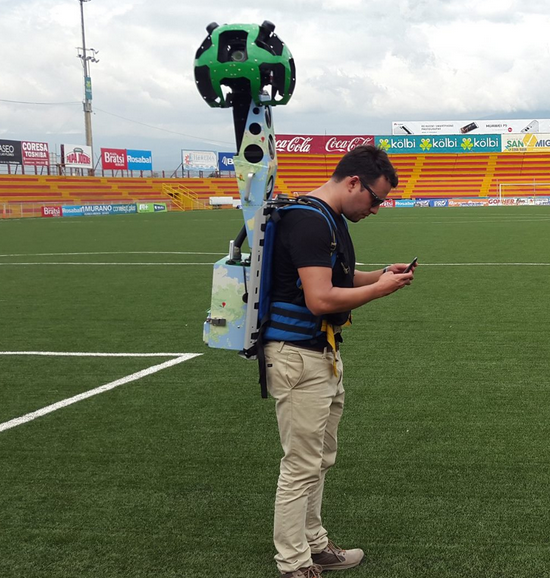
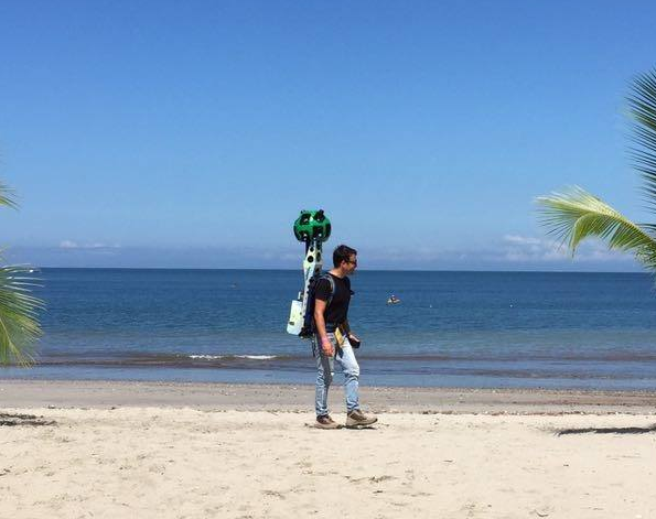
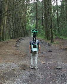
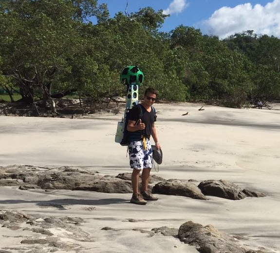
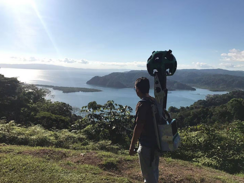
As of September 2016, Google started using trekkers and tripods to photograph various tourist sites in Costa Rica, focusing primarily on Downtown San Jose as well as several recreational parks north of the city. In November of the same year, Google started taking panoramic photographs around the city of Cartago and Heredia. Later in December, Google photographed part of the coast around the town of Coco in the Guanacaste Province.
Subsequently, in early November 2016, Club Sport Herediano confirmed its collaboration with Google Maps to photograph several sports venues such as the Eladio Rosabal Cordero Stadium.[2]
In early 2017, Google used boats equipped with trekkers to take pictures around Caño Island, in addition to the Coco Island National Park. Later that same year, the interior of the Costa Rican Center for Science and Culture was photographed.[3]
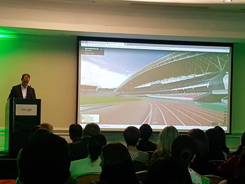
In mid-2018, Google began photographing the Juan Santamaria Airport facilities in Alajuela using tripods. In addition, panoramic photographs were taken inside the Museum of Democracy located in the Historic Center of San José.
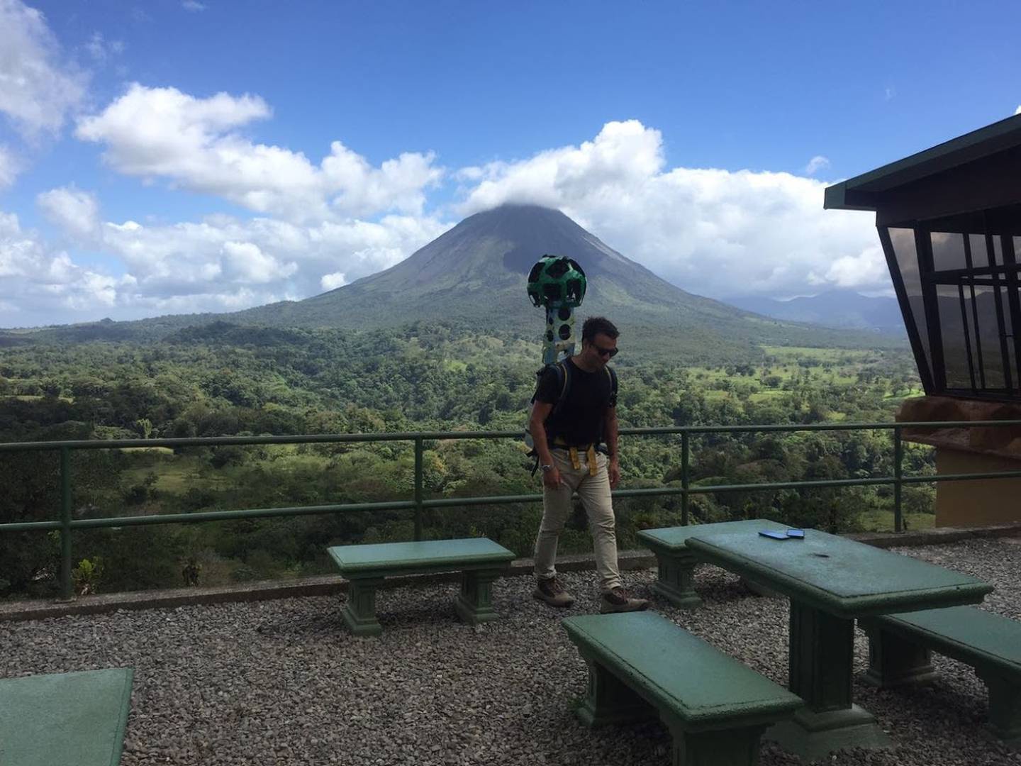
Much of the coverage was published although there is coverage that has not yet been released to the public such as the Arenal Volcano located in the Alajuela Province and the Golfito Wildlife Refuge in the Puntarenas Province. These can be confirmed by images supplied to the newspaper ‘La Nación’.[4]
In early May 2024, several users on social media reported a Gen 4 Pickup circulating in various areas of San José (See News Report). The countrywide street photography project was carried out this time in partnership with the Club Automóvil de Costa Rica.
History
Note: We take into account the date when the coverage was taken, not the date when it was published.
Source: Costa Rica's Coverage Dates - Emily Geo Website + See the list of trekkers/tripods for more detailed information.
| Year | Additions |
|---|---|
| 2016 |
|
| 2017 |
|
| 2018 |
|
Gallery
Trekkers
Gen 4 Cameras


References
Vargas, M. (2016-08-08) "Google Street View gestiona permisos para operar en Costa Rica" La Nación. (in Spanish)
"Google Maps estuvo trabajando en el Estadio Eladio Rosabal Cordero." (2016-11-04) Club Sport Herediano via Facebook (in Spanish)
"Expedición de Google en el Parque Nacional Isla del Coco." (2017-03-03) Parque Nacional Isla del Coco via Facebook (in Spanish)
Vargas, M. (2018-07-17) "Google presenta al mundo 76 imágenes 360° de destacados lugares de Costa Rica"
La Nación. (in Spanish)
