History of Google Street View / Uganda
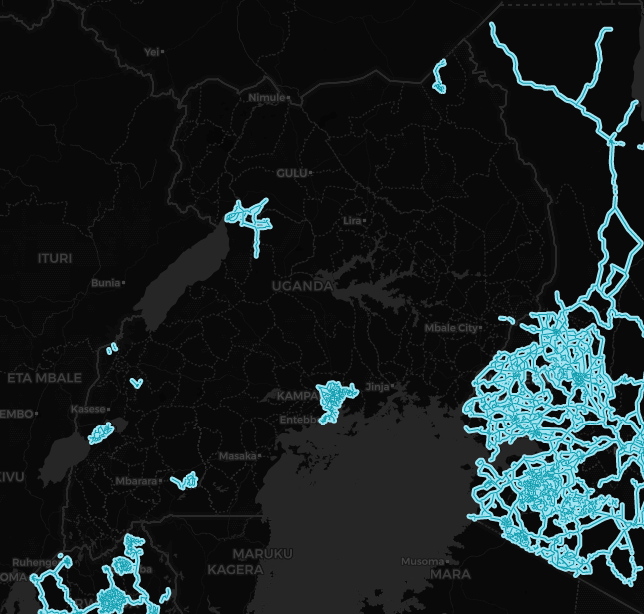
(Source: SV-Map)
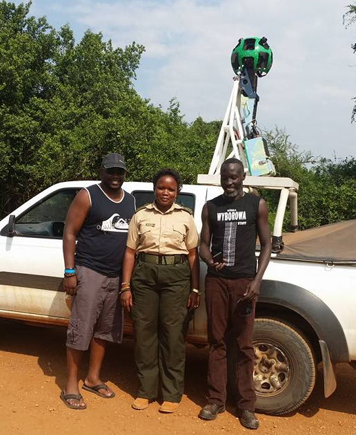
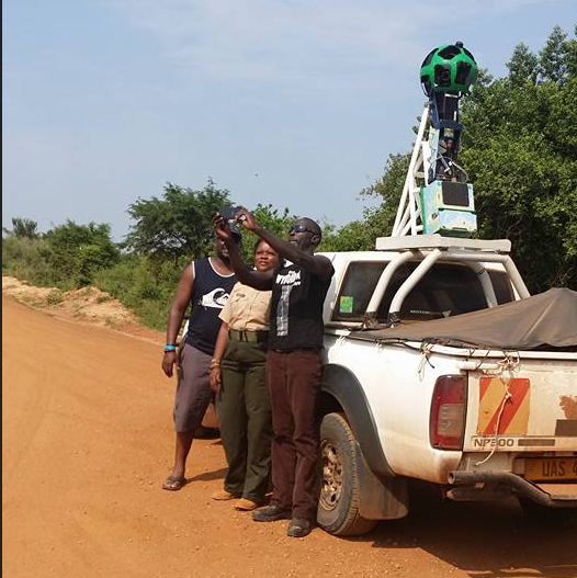
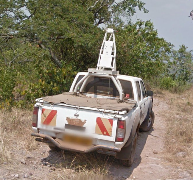
From March through June 2015, Google began photographing various streets in Kampala and nearby areas with a Gen 3 Pickup. In November 2015, coverage of Kampala was launched on Google Maps.[1]
At the beginning of 2016, Google officially announced the existing coverage in the capital, covering historical avenues as well as places close to cultural sites such as Kabaka's Palace (Luganda: Olubiri lwa Kabaka) at Lubiri, St. Mary's Cathedral (Luganda: Lutikko y’e Rubaga) at Rubaga & the Mandela National Stadium (Luganda: Ekisaawe ky'e Namboole) at Namboole.[2]
The project was not directly announced by Google, but was based on collaborations with local Ugandan companies and the city government according to Tech Magazine "Dignited", additionally it was noted that certain areas around Kampala were covered such as Buwate located in Najjera.[3]
This corresponded with Google's previous attempts to enter the Ugandan market, following the implementation of the Project Link in Kampala, which allowed connecting several areas of Kampala to Wi-Fi.[4]
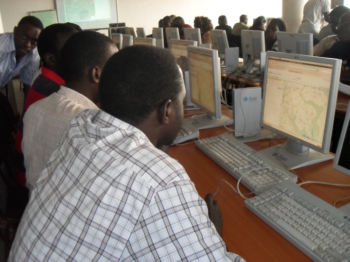
One of the first attempts by Google to enter the Ugandan market began in 2010 after announcements of mapping sessions for the country with the support of several local groups.[5]
In mid-2017, Google announced together with Uganda Wildlife Authority (UWA) the digitization of several trails around various national parks in the country including views of mountainous areas as well as protected valleys.[6]
History
Note: We take into account the date when the coverage was taken, not the date when it was published.
Source: Uganda's Coverage Dates - Emily Geo Website
| Year | Additions |
|---|---|
| 2015 |
|
| 2016 |
|
Gallery
Gen 3 Cameras
References
Whitehead, T. (2015-10-08) "Street View comes to Kampala, Uganda" Google Earth Blog
Khattri, A. (2016-01-12) "Street View Goes Live in Kampala" Google The Keyword
Okwii, D. (2015-10-29) "Google street View now supported in Kampala and we didn’t know about it" Dignited
"Google's Project Link connects Kampala, Uganda at modern Internet speeds" (2013-11-21) New Vision.
Zulu, R. (2010-08-24) "Google Map Maker Uganda > Photos" via Facebook
Odeke, O. (2017-08-29) "Google and UWA in a partnership have added multiple national parks to Google Street View" Dignited
