History of Google Street View / Telangana
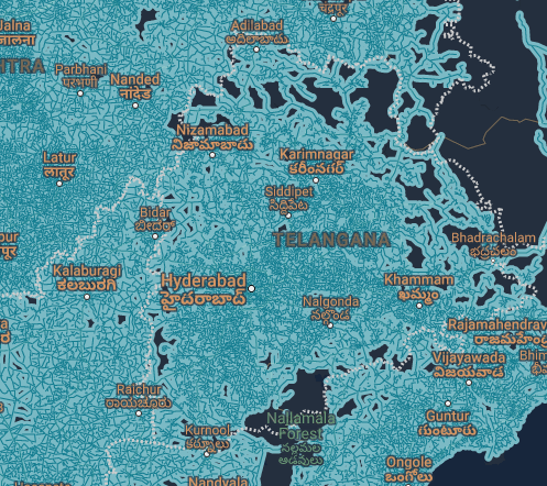
(Source: SV-Map)
The first street view imagery (Telugu: గూగుల్ స్ట్రీట్ వ్యూ) that this southern Indian state received was the coverage taken at the Qutub Shahi tombs Complex in cooperation with the Archaeological Survey of India (ASI), this historical monument was photographed at the end of 2012 using a tripod camera. Later, in early 2013, the street view project was extended to photograph other monuments such as Golconda Fort.[1]
In mid-2013, the Google Maps team in India announced panoramic views of several sites around the Old City of Hyderabad including the Charminar Mosque (Telugu: చార్ మినార్).[2]
In early 2015, Google India started photographing various University campuses around Telangana using a motorcycle with a trekker equipped, the campuses that were photographed were Maulana Azad National Urdu University (MANUU), English and Foreign Languages University (EFL) and Central University of Hyderabad. In mid-2015, Google's Cultural Institute team worked with the Salar Jung Museum at Dar-ul-Shifa in order to digitise a significant number of paintings and sculptures, in addition to adding 360-degree views of several of the museum's rooms.[3]
In 2015, the Regional Government along with Google had plans to add street view to several of Hyderabad's city suburbs,[4] although the plans were not realised for unknown reasons.
In August 2018, Google sent several cameras to photograph parts of Hyderabad Metro stations including locations in Bharat Nagar, Moosapet and Kukatpally.
Additionally, the Google Maps team in India also photographed shopping malls around the country including the Inortbit Mall Cyberabad in Madhapur, which was photographed using a Special Trolley originally in May 2015 and subsequently updated in March 2018.
In late 2021, Google began photographing the Hyderabad metropolitan area using poor quality cameras in collaboration with Mahindra and Genesys, then in mid-2022, Google officially launched this new type of street view in India.[5]
In late December 2024, there was a confirmed sighting of a vehicle equipped with a portable camera driving along National Highway 163 near the city of Jangaon.[6]
History
Note: We take into account the date when the coverage was taken, not the date when it was published.
Source: India's Coverage Dates - Emily Geo Website
| Year | Additions |
|---|---|
| 2012 |
|
| 2013 | |
| 2015 |
|
| 2016 |
|
| 2017 |
|
| 2021 |
|
| 2022 |
|
Gallery
Credit to Satish for additional images from the Gen 3 and 4 cameras.
Gen 3 Cameras

Low Quality Cameras

External Resources
- Hyderabad on Google Arts and Culture
References
"Google Street View Hyderabad" (2015-06-30) Amar Tadi
"Business Photos has made a very brief stop off in Hyderabad, India to climb the beautiful Charminar." (2013-07-29) Google Maps via Facebook
Vijaykumar, G. "Hyderabad’s Salar Jung museum and Google Cultural Institute are now a team" (2015-09-11) Deccan Chronicle
"Google Street View may come to Hyderabad" (2015-05-13) India Today
Kumar, R. "Google Maps Brings Street View To Hyderabad Along With 10 Cities In India" News18
"Google Maps car on highway from Hyderabad to Warangal" (2024-12-30) Spotter via YouTube


