History of Google Street View / Iceland
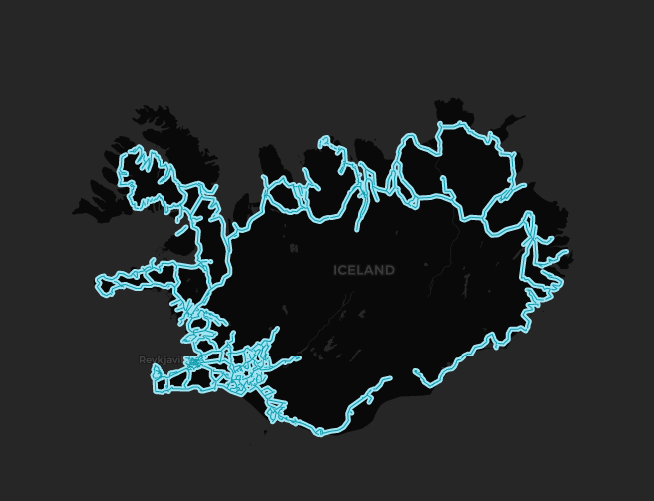
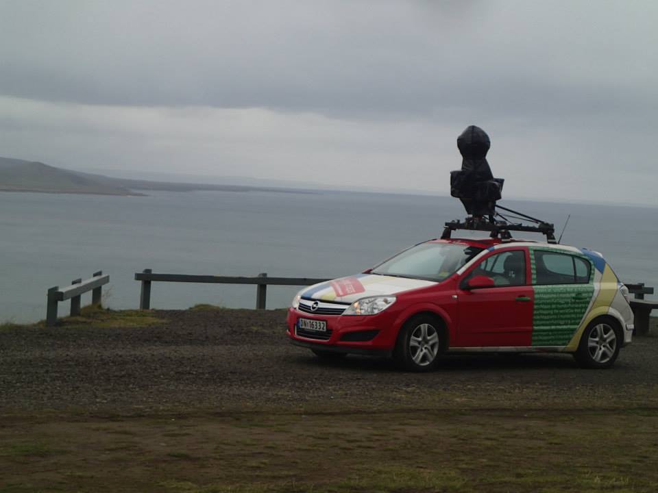
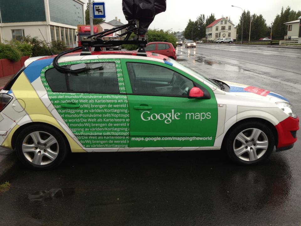
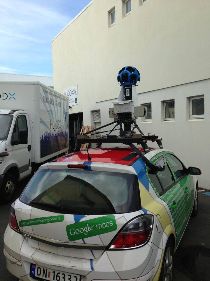
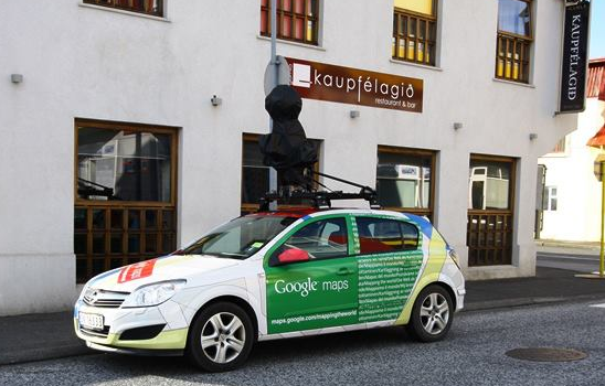
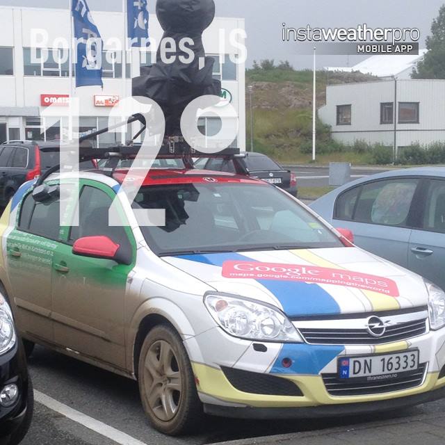
In July 2013, Google announced that it would cover several streets in Icelandic cities and towns.[1] The Google car was transported by the Norröna (Icelandic: Norræna) ferry, one of the largest ferries connecting Denmark and Norway with the Faroe Islands and Iceland.[2]
In total, two Google cars were transported by ferry to cover the country in about two months.[3]
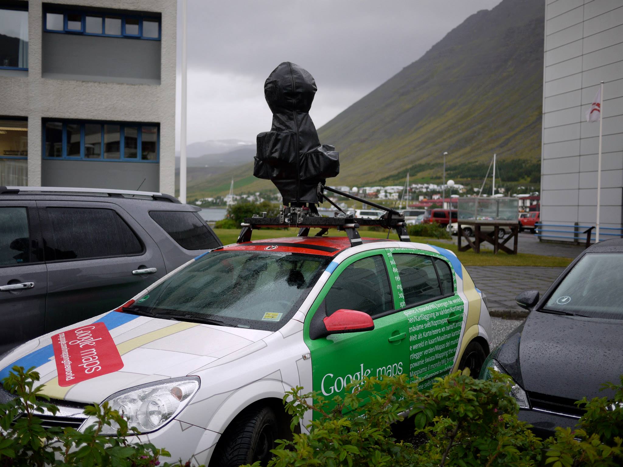
In early August 2013, the Google Maps Car was reported driving around Ísafjörður, capital of the Westfjords region.[4] Later that month, the local newspaper of Akureyri Vikublað published an article that the vehicles had arrived in the capital of the Northeastern Region.[5]
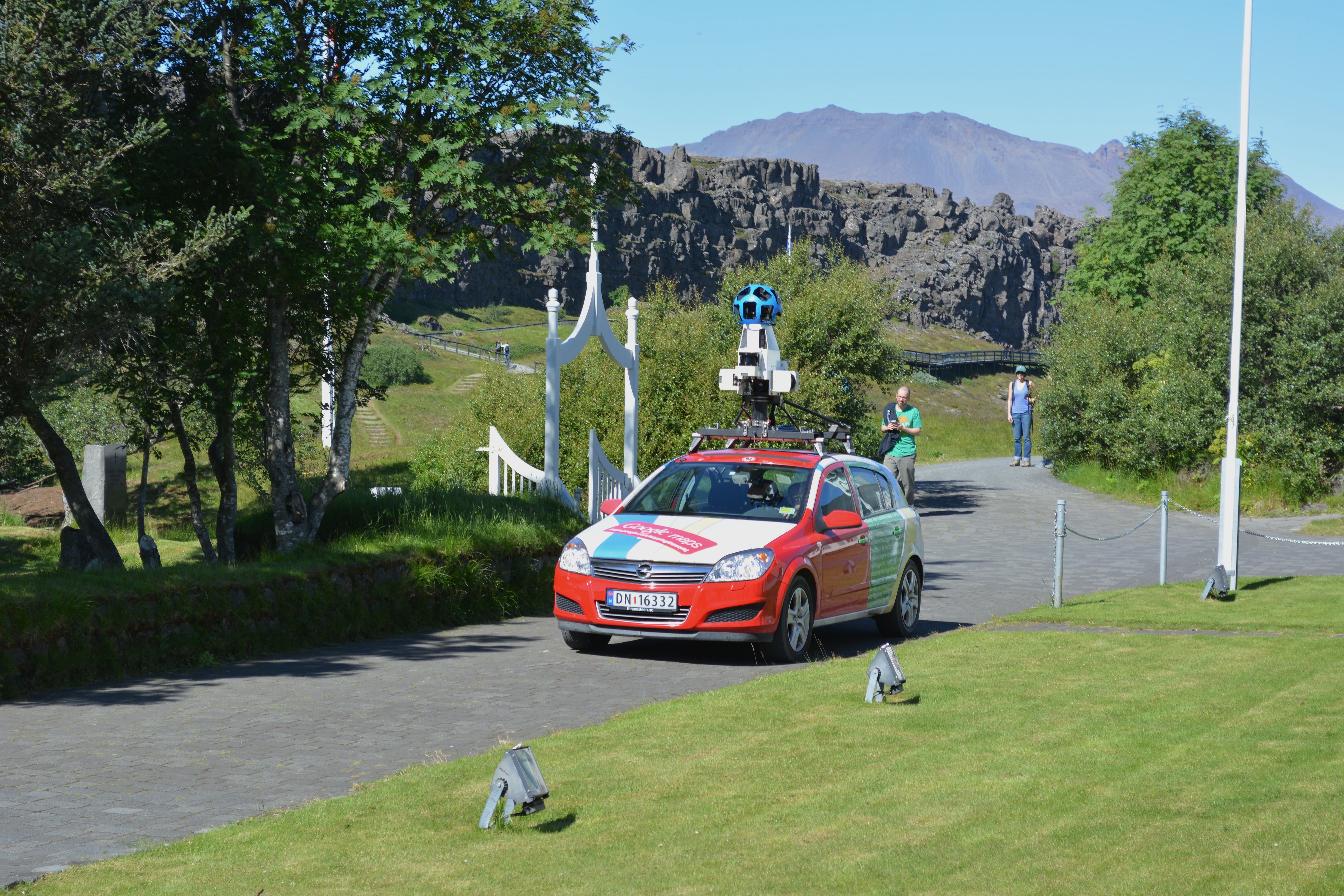
As of August 2013, Google Street View equipment started to travel to different nature reserves around the island such as the Seljalandsfoss waterfall located in Suðurland.[6]
By October 2013, the streets of most of the settlements in Iceland had been published on Google Maps.[7] Later in 2014, Google officially announced coverage made with trekkers of several nature reserves on the island including trails in Thingvellir and Vatnajökulsþjóðgarður National Parks.[8] Other sites captured by Google trekkers included geysers and waterfalls around the country including at Gullfoss Waterfall near the Hvítá River.[9]
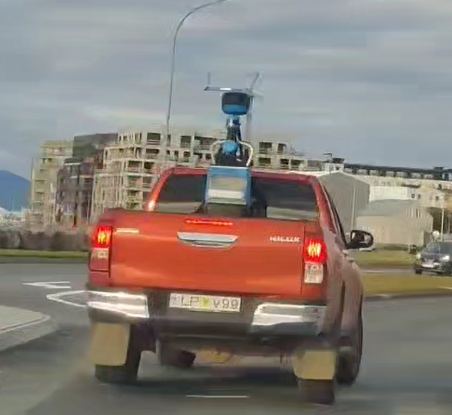
In mid-2024, a pickup with a Gen 4 trekker was spotted driving in Reykjavik, being the first time that Google has updated the existing images in the country.
Gen 4 Expansion
In this update, Google drove on several F roads in Iceland, which are rural roads that mostly involve fording streams and most are closed due to winter, these routes connect remote areas of the country. In addition, these pickups were used to photograph various locations around the Reykjanesfólkvangur Nature Reserve. Other important additions to the country coverage in this update included the addition of Heimaey Island.
The use of pickups for this update in Iceland helped the Google Maps team in mapping the remote roads of Kollafjarðarheiði, also known as Route F99 located in Vestfirðir as well as Kverkfjallaleið, referred to as Route F902, which runs through the remote area of Múlaþing. Other important roads that were covered in this update also included Route 208 that connects the Hrauneyjalon Lagoon in the Municipality of Asahreppur located in the center of the island.
Regarding other parts of Iceland, also the Google Maps team in the country covered the F35 Route that crosses around Kjölur Plateau.
History
Note: We take into account the date when the coverage was taken, not the date when it was published.
Source: Iceland's Coverage Dates - Emily Geo Website
| Year | Additions |
|---|---|
| 2013 |
|
| 2024 |
|
Gallery
Trekkers
Gen 3 Cameras

Gen 4 Cameras
References
"Google Street View finally makes it to Iceland" (2013) IceNews.
"Google Street View væntanlegt til Íslands" (2013) Einstein.is (in Icelandic)
"Tveir Google bílar komnir til landsins" (2013) MBL.is (in Icelandic)
"Google bíllinn á Ísafirði" (2013-06-12) Bæjarins Besta via Timarit.is Archive (in Icelandic) (Archived Version + Social Media POst
"Brostu! Google bíllinn er á Akureyri" (2013-06-23) Akureyri Vikublað. (in Icelandic) Quote: "Google bíllinn er nú kominn til Akureyrar og myndar nú bæinn þveran og endilangan. Bíllinn er með myndavél á þakinu sem tekur 360 gráðu víðmyndir svo" (Translation: The Google car has now arrived in Akureyri and is capturing the town from end to end. The car has a camera on its roof that takes 360-degree panoramic images")
"Google bíllinn kíkti við hjá okkur" (2013-08-13) Seljalandsfoss via Facebook (in Icelandic)
"Google Street View komið til Íslands" (2013) Einstein.is (in Icelandic)
Moscaritolo, A. (2014-08-20) "Take a Virtual Trip to Iceland With Google Street View" PCMag.
Yick, D. (2014-08-20) "Explore the geysers and waterfalls of Iceland on Google Maps" Google Maps Blog

