History of Google Street View / Faroe Islands
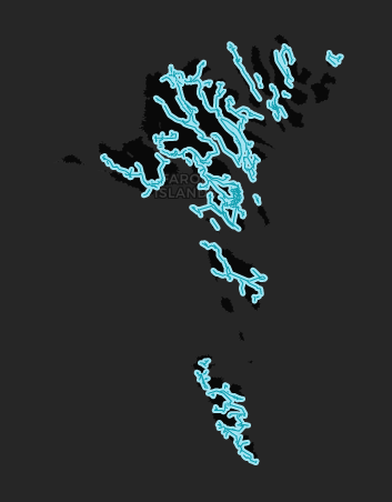
(Source: SV-Map)
In August 2016, Google announced that it would be driving on the territory following initiatives by the tourism organization "Visit Faroe Islands" and Atlantic Airways after the creation of "SheepView360", which went viral in the same year where it incorporated 360 cameras on the backs of sheep.[1]
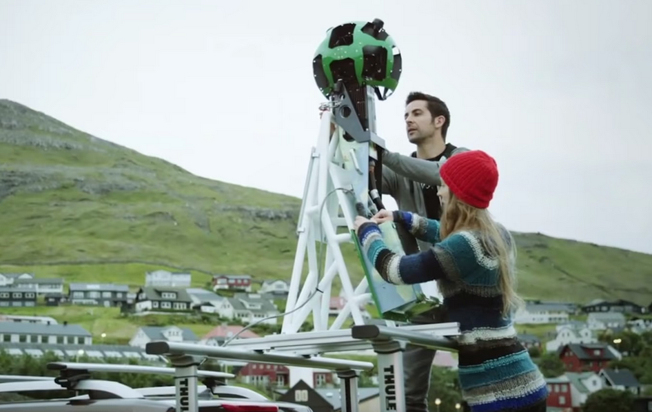
The tourism board used the Loan Trekker Program as well as several company delegates traveled to the island to inform the local team how to use the cameras. Subsequently, filming began in various parts of the capital.[2]
The project then started to tour other areas of Faroe. In early October 2016, the Google Maps vehicle was transported to the island of Suðuroy in the southern part of Faroe.[3]
By mid-November 2016, the cameras were reported to be driving around the Sunda commune in the northern part of the islands, where the Google Maps team met the local authorities while photographing part of the town of Oyrarbakki on Eysturoy Island.[4]
In late November 2016, local media reported that the Google Street View vehicle was driving around Vagar Island.[5] In early 2017, the Google team sent several trekkers to photograph hiking trails in several Nature Reserves on the island, such as Sørvágsvatn Lake and Múlafossur Waterfall on Vágar Island.[6]
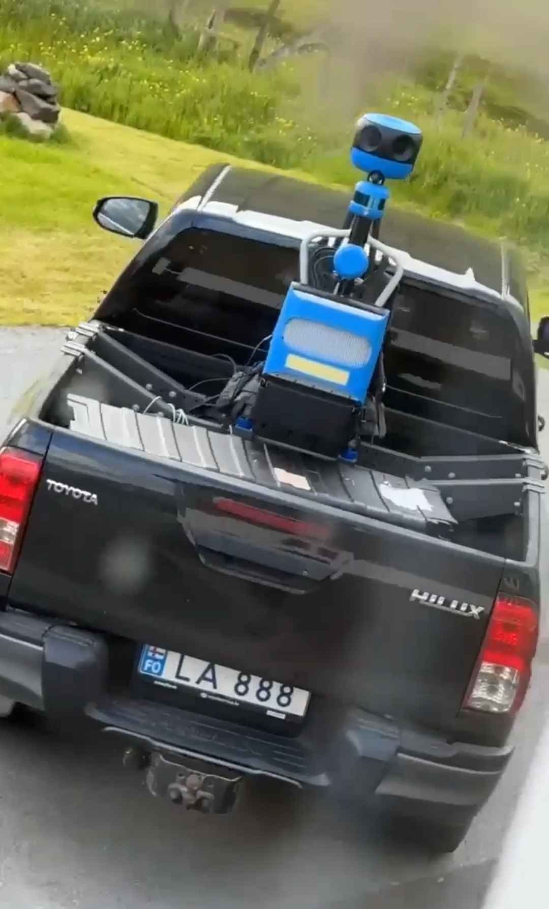
Between June and July 2024, the Google team again update most of the islands' roads but this time with Gen 4 cameras in addition to introducing the service to two smaller islands, namely Nólsoy and Hestur. Subsequently, the official ‘Visit Faroe Islands’ account confirmed several projects with Google including the addition of Faroes to their Translator as well as their progress on the Street View service.[7]
History
Note: We take into account the date when the coverage was taken, not the date when it was published.
Source: Faroe Island's Coverage Dates - Emily Geo Website
| Year | Additions |
|---|---|
| 2016 |
|
| 2017 |
|
Gallery
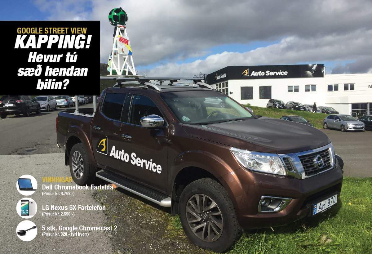
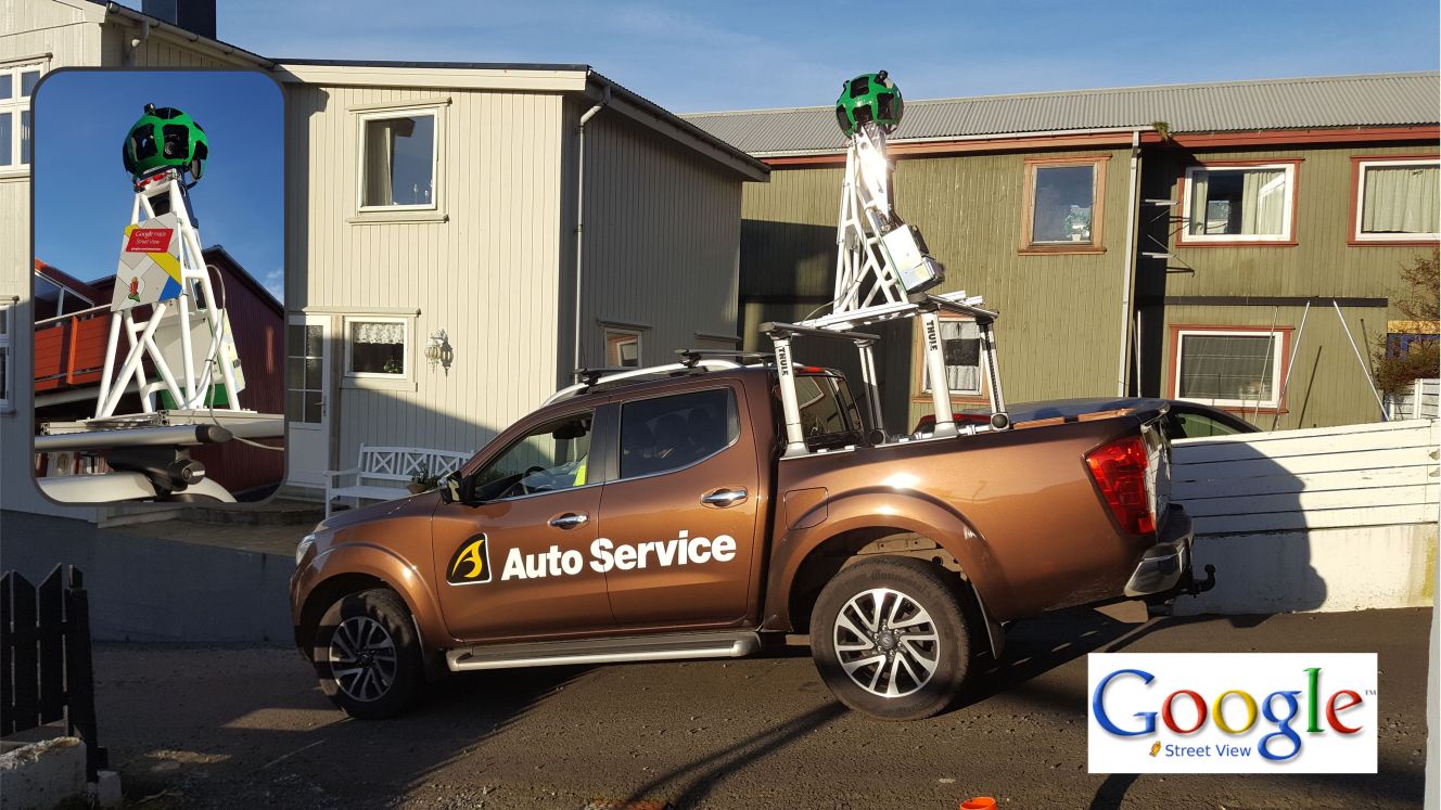
Gen 3 Cameras
Gen 4 Cameras
Note: Thank you Signa Skorastein Við Misá for supplying the photo of the Gen 4 Pickup.
External Resources
- Removed Gen 3 Coverage in Faroe Islands with Pano Descriptions via Imgur
References
Rana, D. (2016-08-31) "Google Street View loksins komið til Føroya" Info. (in Faroese)
González, D. (2016-08-31) "Sheep View: Where there’s a wool, there’s a way" Google The Keyword
"Google Streetview vitjar Tvøroyri" (2016-10-07) Tvøroyri Kommuna (in Faroese)
"Google bilurin í Sundalagnum" (2016-10-11) Sunda Kommuna (in Faroese)
"Google-bilurin í Vágum" (2016-11-22) VP.fo (in Faroese)
Hákun, J. (2018-02-19) "Google gives in to Faroese peer pressure" Local.fo
"Remember when we put cameras on sheep, and Google came to visit?🐏🎥 In 2016 we petitioned Google to include the Faroe Islands on Google Street View. A year later, the Faroe Islands were live on Street View." (2024-07-02) Visit Faroe Islands via Facebook
